USGS Nebraska Water Science Center
Congressional District 3
Congressman Adrian Smith
- Home
- Congressional District 1
- Congressional District 2
- Congressional District 3
- Expertise
- Science Themes
- Emerging Science
- Publications
Research Projects
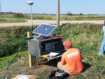
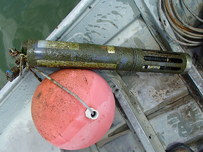
Scientists from the USGS Nebraska Water Science Center currently are working on the projects listed below. A summary of the project is available by clicking the project title. In addition to the projects listed below, we monitor streamflow, groundwater and water-quality throughout the state. Our data and site information is available on NWISweb.
Abbreviation: NRD, Natural Resources District
| Project Title | Cooperating Agency | |
|---|---|---|
 |
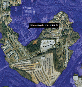
City of Scottsbluff Flood Inundation Map | City of Scottsbluff |
 |
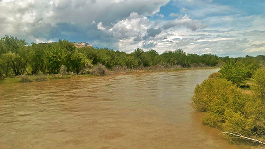
Ecosystem Connectivity Effects on Productivity in Lower Niobrara-Missouri Deltas | |
 |
ELM Regional Groundwater Model | Upper Elkhorn NRD, Lower Elkhorn NRD, Middle Niobrara NRD, Lower Platte North NRD |
 |
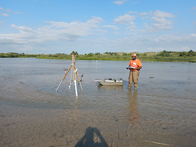
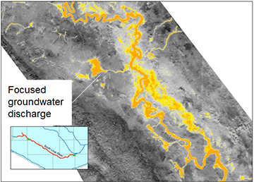
Groundwater/Surface-Water Interactions in the Loup River Basin | Upper Loup NRD and Lower Loup NRD |
 |
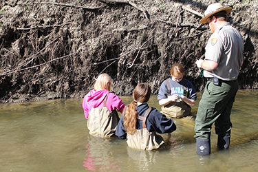
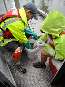
Homestead National Monument Water Quality Partnership | National Park Service and Niobrara Council |
 |
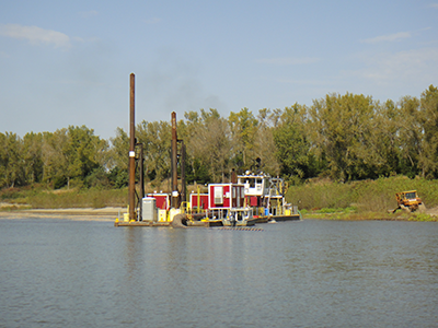
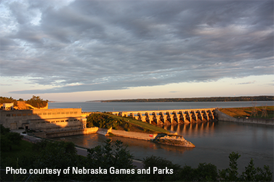
Missouri River Recovery Program Monitoring | U.S. Army Corps of Engineers |
 |
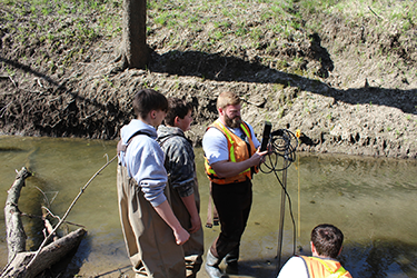
Niobrara National Scenic River Base Flow | National Park Service and Niobrara Council |
|
Productivity in the 59-mile reach of Missouri River between Gavins Point Dam and Ponca State Park | |
 |
Recharge Estimation across the Central Platte River Basin | Central Platte NRD |
 |
South Loup River/Holt Creek Water Budget Study | Upper Elkhorn NRD, Lower Elkhorn NRD, Upper Loup NRD, Lower Loup NRD, and Lower Platte North NRD |
 |
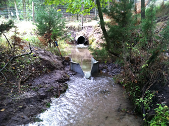
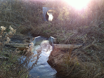
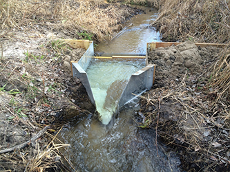
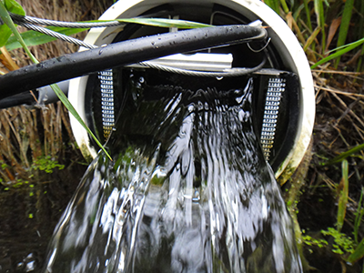
Tile Drain Delineation | Lower Elkhorn NRD |
 |
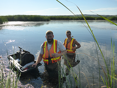
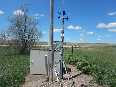
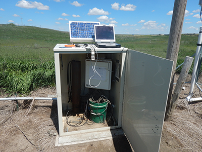
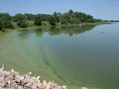
Understanding Cyanobacteria Blooms in Willow Creek Reservoir | Lower Elkhorn NRD, Nebraska Environmental Trust, Nebraska Department of Environmental Quality, Nebraska Game and Parks, University of Nebraska, Lincoln, and Nebraska Department of Natural Resources |
 |
Water-Level Changes in the High Plains Aquifer, Republican River Basin, 2002-2015 | Middle Republican NRD |