Nebraska Water Science Center

|
Water Resources of NebraskaWelcome to the USGS Web page for the Nebraska Water Science Center (NEWSC). Here you'll find information on Nebraska's rivers and streams, groundwater, water quality, and many other topics. The USGS operates the most extensive satellite network of stream-gaging stations in the state, many of which form the backbone of flood-warning systems. National Groundwater Awareness Week, March 5-12, 2017As part of National Groundwater Awareness Week, we will be highlighting our groundwater research projects this week. Elkhorn-Loup Model
Natural Resources Districts and the Nebraska Department of Natural Resources are concerned with the effect of groundwater withdrawal on the availability of surface water and the long-term effects of groundwater withdrawal on the groundwater resource in the Elkhorn River and Loup River basins. The Elkhorn-Loup Model, a multi-phase project, is a study of surface-water and groundwater resources in the Elkhorn River Basin upstream from Norfolk, Nebraska, and the Loup River Basin upstream from Columbus, Nebraska.
Papio-Missouri River Natural Resources District Groundwater Quality Monitoring
The USGS Nebraska Water Science Center has been collecting groundwater quality samples in cooperation with the Papio-Missouri River Natural Resources District (NRD) since 1992. The project was initiated to determine the overall quality of the defined aquifers and to identify the contaminants within the aquifer. In 2006, the project was revised to focus on agricultural related chemicals, specifically contaminants that were measured in the aquifers at 30% of the maximum contaminant level. Additional unregulated pesticides were added to the sample analysis rotation as well. This adjustment allowed the NRD to identify and monitor areas that could possibly need future management. Samples were collected from irrigation, domestic, municipal and stock wells across the NRD. Sample collection focused on a specific aquifer each year, with a total of 25-30 samples collected from the aquifer of interest during the sampling season. Through 2015, over 2,200 samples were collected from over 350 sites.
Featured Projects: Groundwater/Surface-Water Interactions in the Loup River Basin Current Conditions in NebraskaReal-Time Streamflow Sites
The USGS provides current ("real-time") stream stage and streamflow, water-quality, and groundwater levels for over 130 sites in Nebraska. USGS Nebraska Water News and Notices
Recent Publications
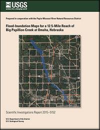
Flood-inundation maps for a 12.5-mile reach of Big Papillion Creek at Omaha, Nebraska by Kellan R. Strauch, Benjamin J. Dietsch, and Kayla J. Anderson USGS Scientific Investigations Report 2015-5152
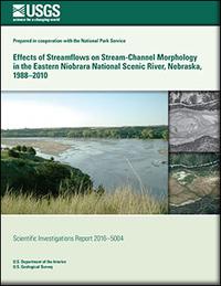
by Nathaniel J. Schaepe, Jason S. Alexander, and Kiernan Folz-Donahue USGS Scientific Investigations Report 2016-5004
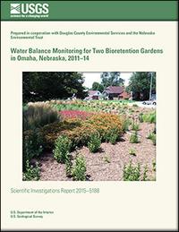
Water balance monitoring for two bioretention gardens in Omaha, Nebraska, 2011-14 by Kellan R. Strauch, David L. Rus, and Kent E. Holm USGS Scientific Investigations Report 2015-5188
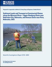
by Brenda K. Densmore, David L. Rus, Matthew T. Moser, Brent M. Hall, and Michael J. Andersen USGS Scientific Investigations Report 2016-5002
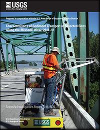
Characteristics of sediment transport at selected sites along the Missouri River, 2011-12 by David L. Rus, Joel M. Galloway, and Jason S. Alexander USGS Scientific Investigations Report 2015-5127 |

![]() U.S. Department of the Interior |
U.S. Geological Survey
U.S. Department of the Interior |
U.S. Geological Survey
URL: http://ne.water.usgs.gov/index.htm
Page Contact Information: GS-W-NE_Webmaster
Page Last Modified: Wednesday, 08-Mar-2017 12:23:37 EST