USGS Nebraska Water Science Center
Monitoring the Effectiveness of Bioretention Cells
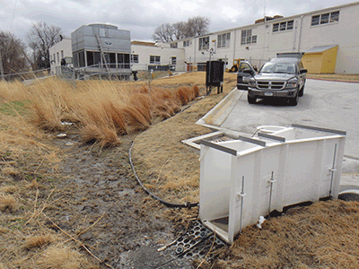
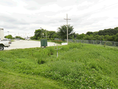
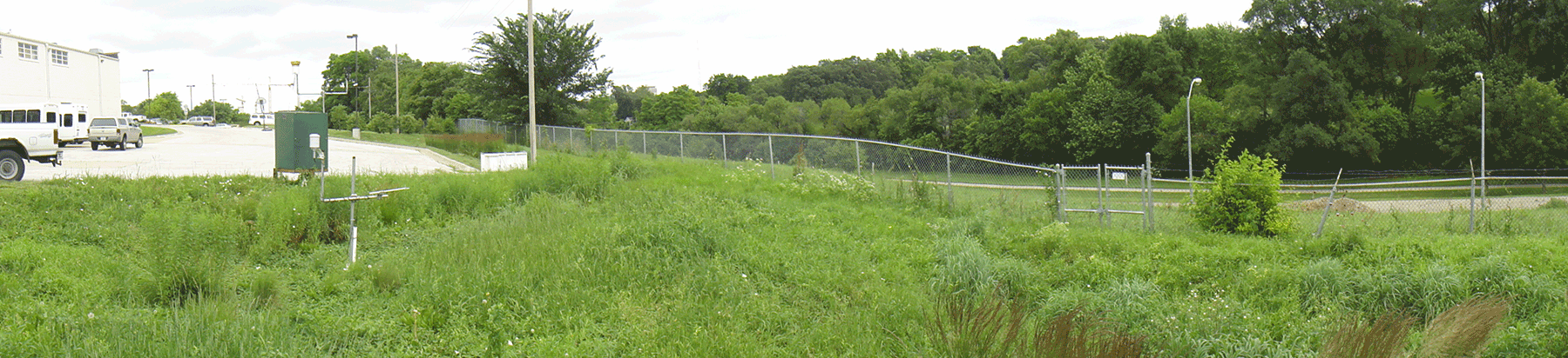
Douglas County Health Center
Bioretention Cell Design
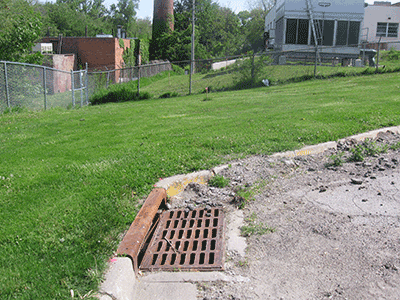
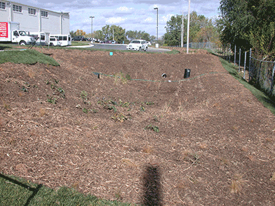
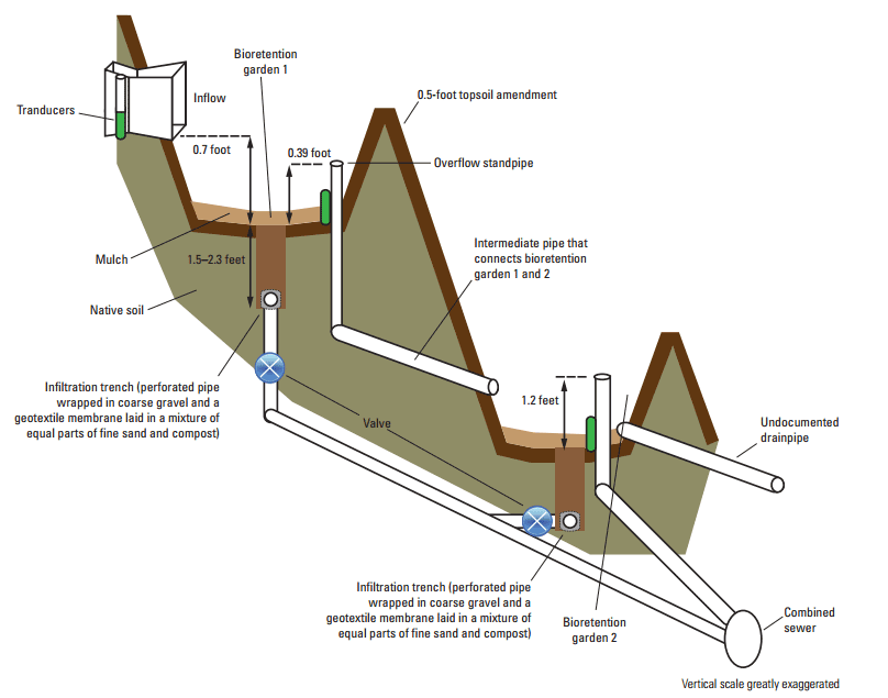
The Douglas County Health Center (DCHC) bioretention cell is located on the east side of the DCHC campus. The DCHC is located in the central part of Omaha, Nebr., near the intersection of 40th and Pacific Streets. This bioretention cell consists of two gardens joined together in series. Stormwater runoff is directed into an inflow channel and then enters garden 1. If the ponding depth in garden 1 exceeds the height of an intermediate pipe connecting the two gardens (corresponding to a height of 0.39 ft above the surface of the bioretention garden 1), the excess water flows into garden 2. If the ponding depth in garden 2 exceeds the height of the overflow standpipe, the excess water flows to the combined sewer.
The DCHC bioretention garden receives stormwater from 1.3 acres consisting primarily of runoff from the adjacent building rooftop and parking lot. Runoff from the rooftop is collected into downspouts that direct the flow to the parking lot to the east. The stormwater continues flowing east on the parking lot to the curb that separates the bioretention garden from the parking lot. Once the flow reaches the curb, the flow is channeled into the bioretention garden at the inlet and routed through the flume into the bioretention garden.
Water Balance
The water balance of this cell is measured using
- precipitation,
- surface inflow,
- outflow through the infiltration trench,
- outflow through the overflow,
- evapotranspiration, and
- the change in stored runoff.
The remaining component of the water balance, infiltration, is being estimated as the residual of the water balance.
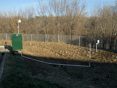
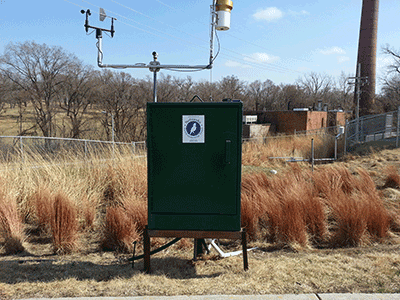
All of the components of the water balance were measured every 15 minutes during nonflow periods; however, inflow, outflow from the standpipe, and amount of ponded water were measured every minute when flow was measureable or when water depths were higher than 0.03 ft in each sensor (ponding). Collected data were stored using electronic data loggers and transmitted in near real time to the USGS National Water Information System Web site (NWISWeb).
Available Data
Data are available through the USGS NWISweb: DCHC DATA
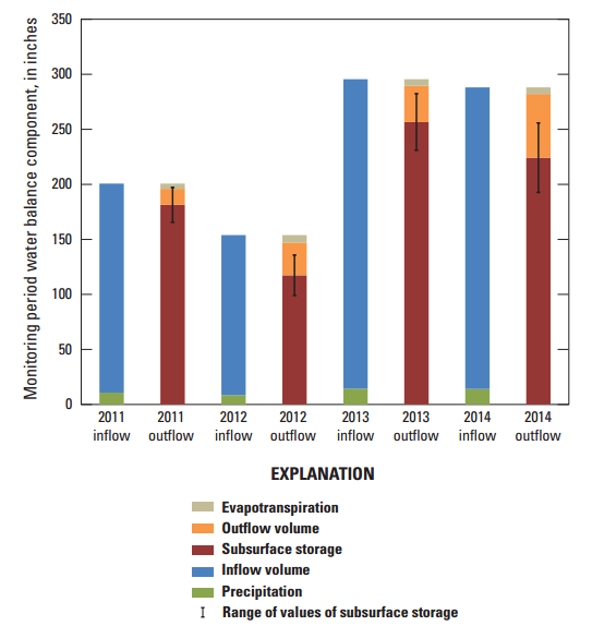
Water-balance components for measured events, 2011-14.
Photos