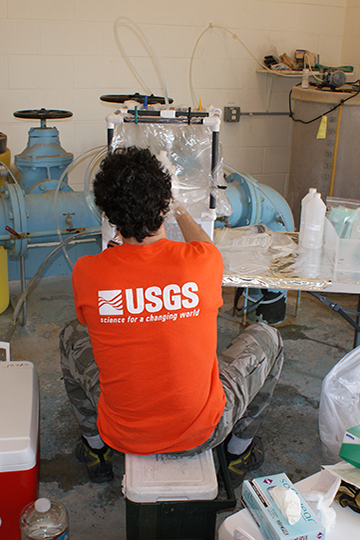
Water information is fundamental to national and local economic well-being, protection of life and property, and effective water resource management. The U.S. Geological Survey Nebraska Water Science Center works with partners to monitor, assess, and conduct targeted research on a wide range of water resources and conditions including
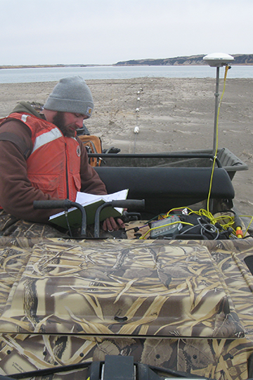
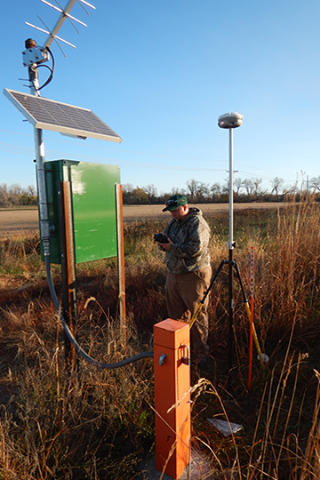
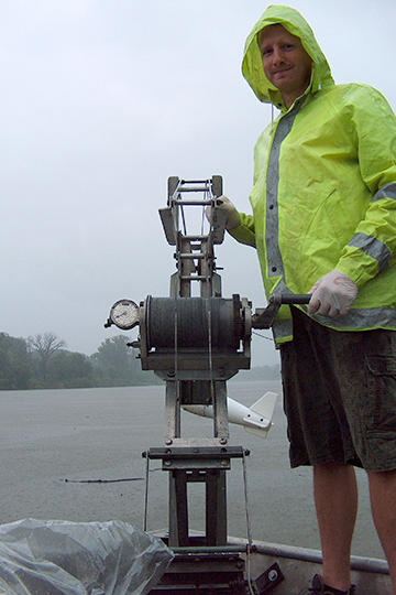
Streamflow, Groundwater, and Lakes
Collecting continuous and discrete surface-water and groundwater data to provide long-term hydrologic records.
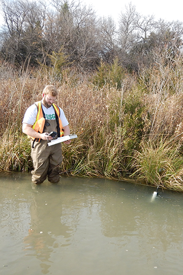
Water Quality
Analyzing samples collected from rivers and streams to provide critical information to water managers.
Water Availability and Use
Using models to simulate how water use may affect water resources, study the interaction between groundwater and surface water, and monitor water levels throughout the state.
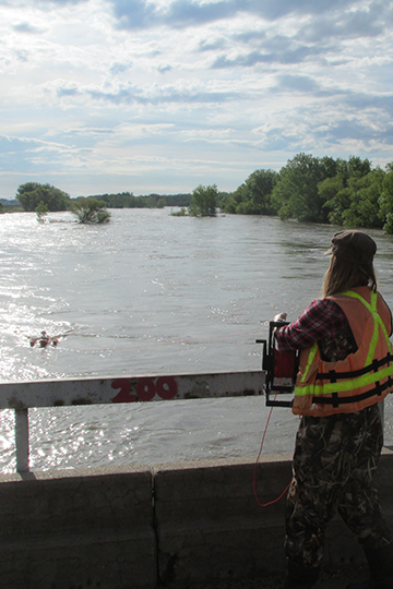
Floods and Drought
Mapping the extent of floods and studying how water managers can best manage water resources, the USGS Nebraska Water Science Center is helping mitigate the effects of natural hazards.
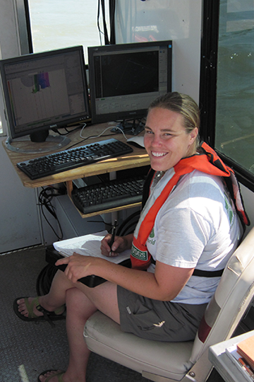
Advanced Technologies and Modeling
Providing extensive modeling expertise and experience both locally and nationally.
Ecological Monitoring
Researching how stream ecology responds to changing conditions such as climate, chemical stressors, and habitat changes across a variety of ecosystems.
Sediment
Exploring the effectiveness of aquatic habitat restoration and the impacts of flow management/augmentation on the shape of stream channels.