 |
| Central Nebraska Basins Study Unit |
ACT Surface Water Pictures |
||||||||||||
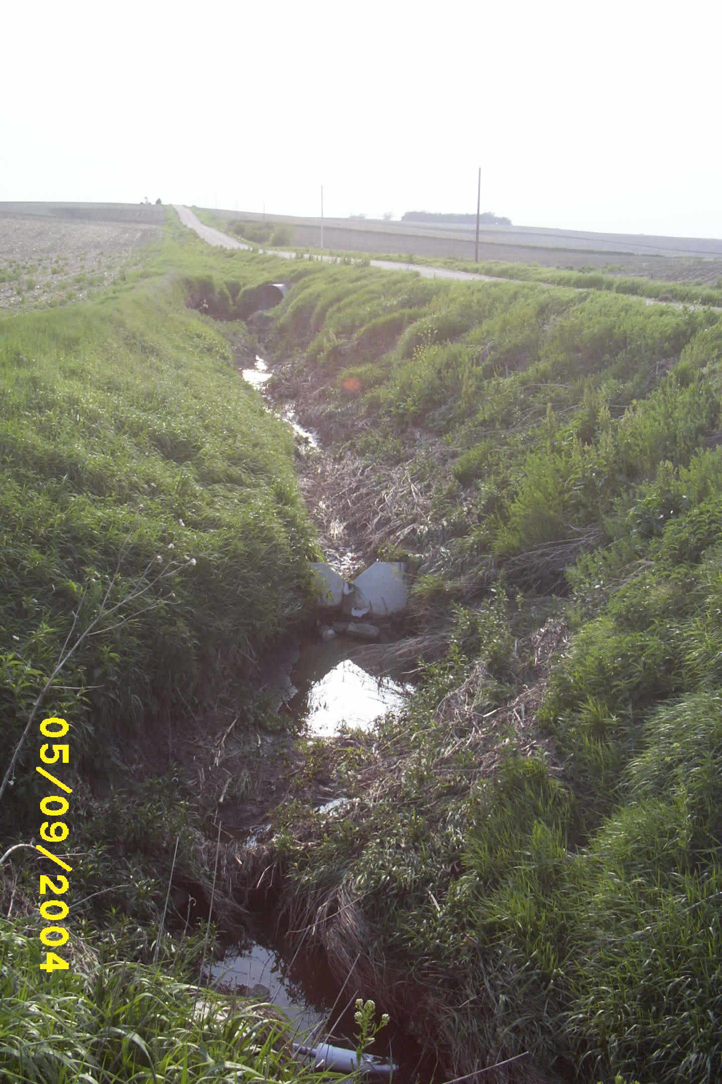
Ditch draining a small agricultural watershed in Maple Creek after a runoff event. |
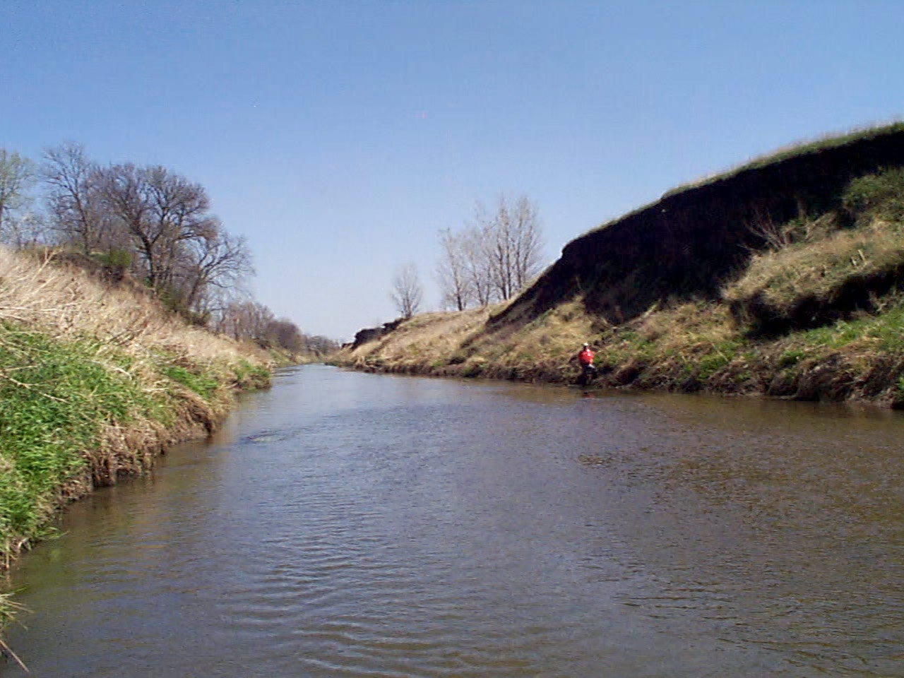
Maple Creek during baseflow conditions. |
|||||||||||
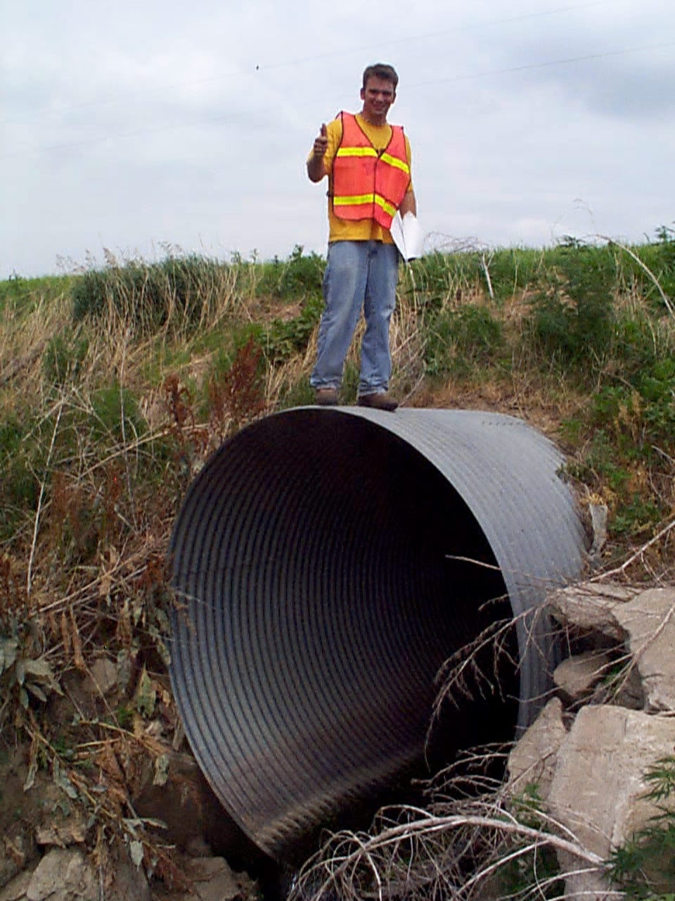
Chris Hobza enjoys his work on the ACT project.
|
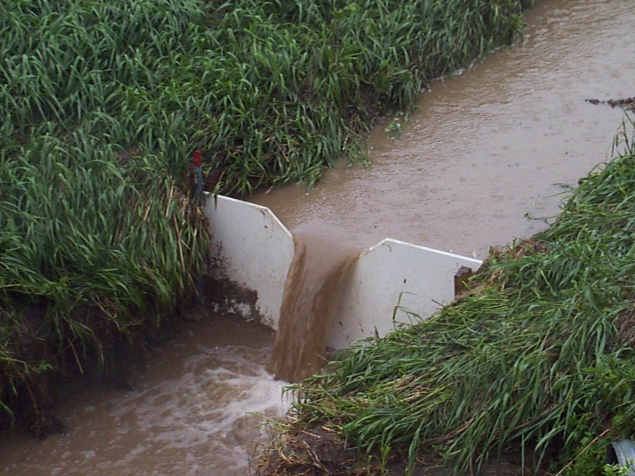
A v-notch weir showing runoff from agricultural fields during a storm event. |
|||||||||||
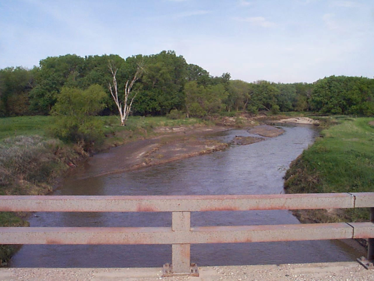
Maple Creek during a storm event. |
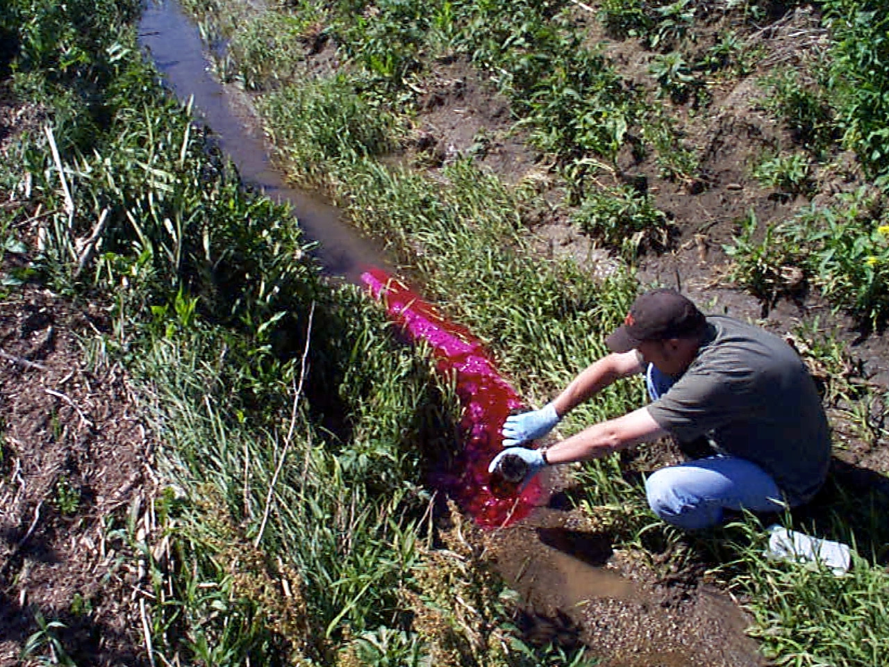
Jason Vogel begins a rhodamine tracer test near the source of a small tributary of Maple Creek. |
|||||||||||
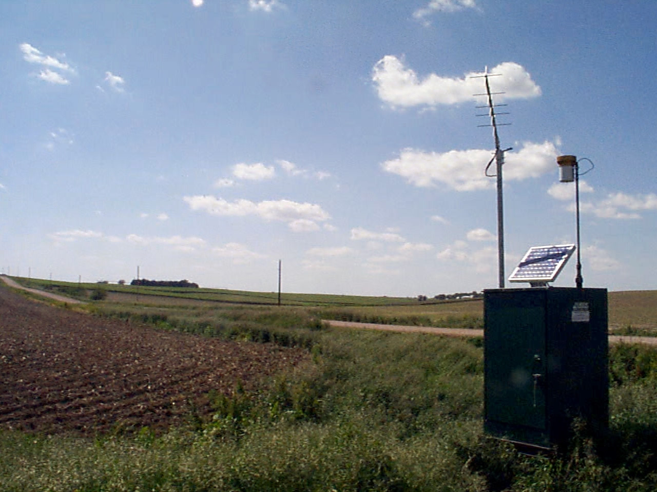
The gage house at a small watershed within the Maple Creek basin. |
||||||||||||
| National NAWQA Page | NAWQA data warehouse | Nebraska related NAWQAs |
| U.S.
Department of the Interior,
U.S. Geological Survey | Privacy Policy | | Disclaimer | | Accessibility | | FOIA |